 |
| Roller Coaster on Primm Blvd. |
 |
| The playa at Ivanpah |
On the way home from Geocoinfest, I stopped in Primm, NV. Primm is the little town on the border of California and Nevada. It is also home to a number of geocaches, a couple Earthcaches, and some munzees, including an elusive Campfire Munzee. I had stopped in Primm on the way to Vegas and grabbed a few caches, but Wayward Nation's Campfire Munzee was in a location that I was not comfortable going to in the dark (and that's really saying something!). Turns out it wasn't so bad, but a solo night hike into unfamiliar desert terrain can turn into one of those "Geocacher goes missing in desert" stories. So, daytime was much safer and a lot cooler as well since I could actually see stuff. The Earthcache was at Ivanpah Dry Lake (here's the
link) and, as most ECs are, it was very interesting. Ivanpah is located in the Mojave desert and, obviously, is a dry lake bed or 'playa'. For those of you who have been to Burning Man, that festival is held on a similar playa. Ivanpah is a very dry, flat area, and the concentrated salts in the dirt limit plant growth. These conditions and the prevailing winds make it a very popular place for land sailing. In 2009, the world land sailing speed record was set here (126 mph). Unfortunately, because of the government shutdown, the area was closed and I didn't get to see anybody sailing. I did get the required information for the Earthcache (again, forcing me to observe things I might not have otherwise noticed), and I finally did capture the elusive Campfire Munzee!!

I grabbed the nearby cache 'Just over the Fence' (
link), which sits on the CA/NV border. A nice Ammo Can that has seen a lot of use over the years. Well-guarded by some rusty barbed wire marking the border, but nothing too dangerous. I also dropped one of my own Travel Bugs in the Sloan Exit Travel Bug Rest Stop (
link), which was a few miles before Primm, in a little town called Sloan. If you want to follow this CA-themed travel bug as starts its travels, visit the TB's page
here.
 |
Exit sign
(photo by Christopher Mann McKay) |
 |
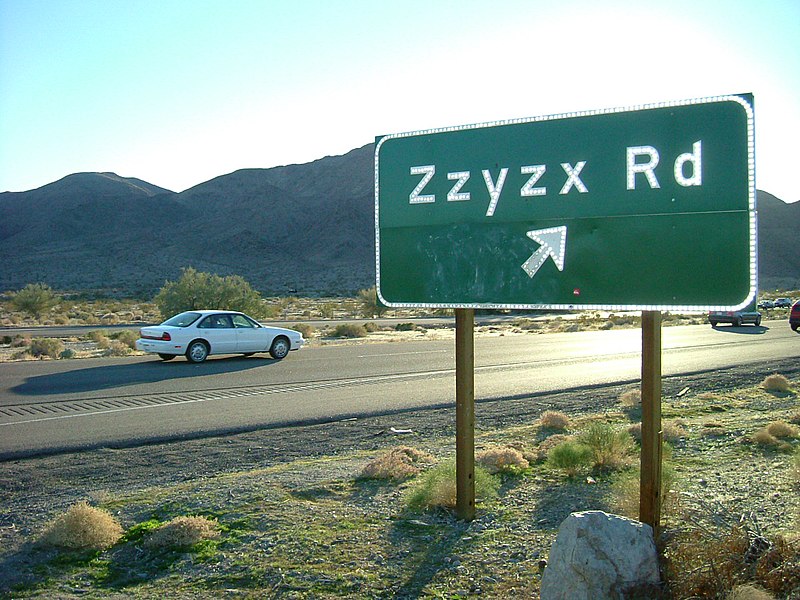
| Zzyzx Rd. Earthcache |
 |
| Late afternoon on Zzyzx Rd. in the Mojave Desert |
Crossing the border back into California, I drove a few miles down I-15 to an empty little exit labeled Zzyzx Road (don't ask me how to pronounce it!). I saw this on the map when planning this trip and, fortunately, there is another Earthcache here, so I had an excuse to stop and check this area out. The Earthcache was named 'Zzyzx: The Oldest Rocks in the World' (here's the
link) and I have to say, this was one of the hardest ECs I have ever done. The logging requirements involved seven questions, most relating to the geology of the area. I was very interested to learn about the age of the rocks in the area (which were different depending on which way you looked) and how those rocks came to be in the various locations. The oldest rocks here were pre-Cambrian gniess that were formed over 1.5 billion years ago!! The area was just gorgeous, especially in the soft light of a late October afternoon. After I obtained what I hoped was the right information for this cache, I continued my drive towards home. Along the way, I noticed similar rock formations along the road and found myself trying to identify them.


No comments:
Post a Comment